Today I am pleased to announce the release of our newest add-in: CloudRender™ for Autodesk® Revit® Architecture 2011. The CloudRender add-in enables users to render faster directly from Revit using the power of cloud computing while continuing to model in Revit. Instead of tying up your local computer, CloudRender off-loads intensive rendering to our high performance systems. There is no loss of quality because Revit scenes render with mental ray® (the same photorealistic rendering engine found in Revit). CloudRender maintains the same camera view, entourage, custom materials and families, lighting, sun, sky, and transparency options (only faster!)
So how does it work?
1. Download and install add-in
2. Select render settings
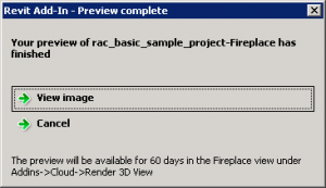
3. Preview, checkout, and submit to cloud
4. Continue to work in Revit
This is a cloud service. All previews, done quickly on the cloud without tying up Revit, are free and unlimited. Pricing for final renders is upfront and automatically calculated based on the detail of your model and the size of the final image.

At this time, CloudRender is only for rendering scenes (walkthroughs will supported be in our upcoming version). It is complemented by our online Limitless Rendering service that can render both scenes and walkthroughs and is also compatible with Revit 2009, 2010, and 2011.
This is an exciting new timesaving technology. Download it now and see what all this hype about the cloud is about.
